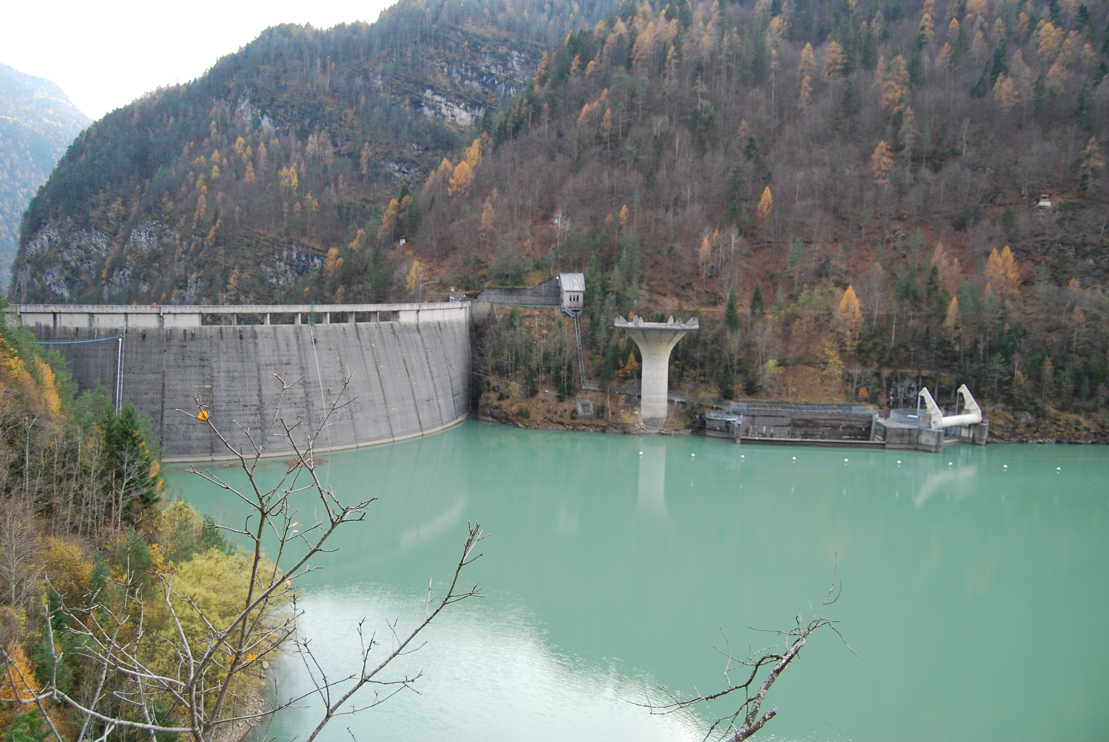
Padana Plain, Northern Italy

Floodplain Management on the Po

The Po River crosses more than 650 km of Northern Italy's most productive agricultural and industrial landscape. Understanding how its levee systems, retention basins, and monitoring networks function is central to managing the risks posed by seasonal flooding.

The Po River near Cremona, Lombardy
652 km
Length of the Po River
~1,100 km
Po levee network length
87,000 km²
Po District catchment area
9,200 km²
Potentially floodable surface

Topics on Flood and Water Management

Technical and contextual documentation on the hydraulic systems that shape the Padana Plain.


The Padana Plain and Flood Risk

Geography

Italy's largest alluvial plain

The Po Valley stretches from the Alps to the Adriatic, covering roughly 46,000 km². It includes the provinces of Piedmont, Lombardy, Emilia-Romagna, and parts of Veneto. The flatness of the plain means that floodwaters spread widely and slowly, placing millions of residents and vast agricultural land under periodic threat.

Governance

The Po River Basin District Authority

Established under Italian and EU water framework legislation, the Autorità di Bacino Distrettuale del Fiume Po (AdbPo) coordinates flood risk management across the entire catchment. It maintains the Flood Risk Management Plan and oversees the integration of levee maintenance, land-use regulation, and emergency alert systems operated by regional agencies.

Climate factors

Changing precipitation patterns

Observations across the Po Basin show increasing variability in seasonal precipitation. Extended dry periods are followed by intense rainfall events that exceed the design capacity of older hydraulic structures. This pattern is documented in ARPAE and ARPA Piemonte monitoring reports, and shapes current infrastructure planning decisions.

Recent events

Significant flood episodes since 1994

The Po has recorded significant overflows in 1994, 2000, 2008, and 2020. The 2000 event, one of the most extensive in recent decades, breached levees in several points between Piacenza and Cremona and affected approximately 40,000 people in Piemonte and Lombardia. Post-event surveys led to upgrades in embankment crest heights and early-warning systems.

The Po Valley from Above

A Copernicus Sentinel-2 composite from ESA shows the full extent of the Po Valley, its river network, and the agricultural landscape that flood management protects.

Sentinel-2 satellite image of the Po Valley, Northern Italy
Copernicus Sentinel-2 composite image of the Po Valley. Source: European Space Agency, CC BY-SA 3.0 IGO, via Wikimedia Commons.

Reach the Editorial Team

For corrections, source suggestions, or documentation inquiries related to Po Basin hydrology and flood management topics, use the form below.


Email: info@riverandhearth.eu

Your request has been submitted.